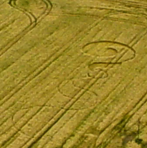
Photo by Ellis Taylor, Crop Circle Archives (Crop Circle Connector)
- Date
- 21 June 2005
- Place
- Toot Baldon, near Southend
- County or region
- Oxfordshire
- Country
- England
- Crop
- Barley
- GPS
- 51.70614, -1.16711
- OS grid reference
- SP 576 011
- Nearest ancient site
- Uffington White Horse, 31.1 km
Photos7
Photos load from the archives that published them and remain the copyright of their photographers. Crop circle images and reports courtesy The Crop Circle Connector (cropcircleconnector.com). All sources and credits.
Reports
Crop Circle Archives (Crop Circle Connector)
Crop Circle at Toot Baldon, nr Southend, Oxfordshire. Reported 21st June 2005 Toot Baldon, nr Southend, Oxfordshire. Reported 21st June. Map Ref: SP76011 Crop: Barley Updated Monday 27th June 2005 Pictures attached. I'm still away from the computer and internet - had to put these photos on a floppy and send them…
Photos by Ellis Taylor. Read the full report at Crop Circle Archives.