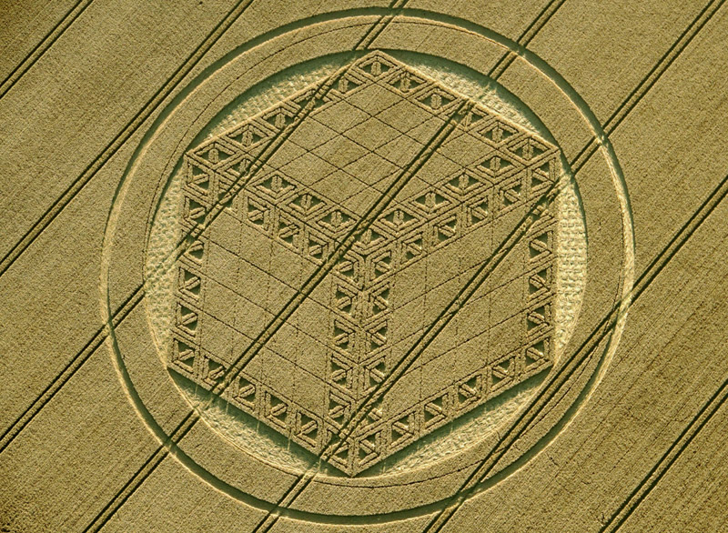
51.4770° N 1.8192° W
SU 126 753
26 August 2012
Wheat
Photo Simon Brown
SU 126 753
26 August 2012
Wheat
Photo Simon Brown
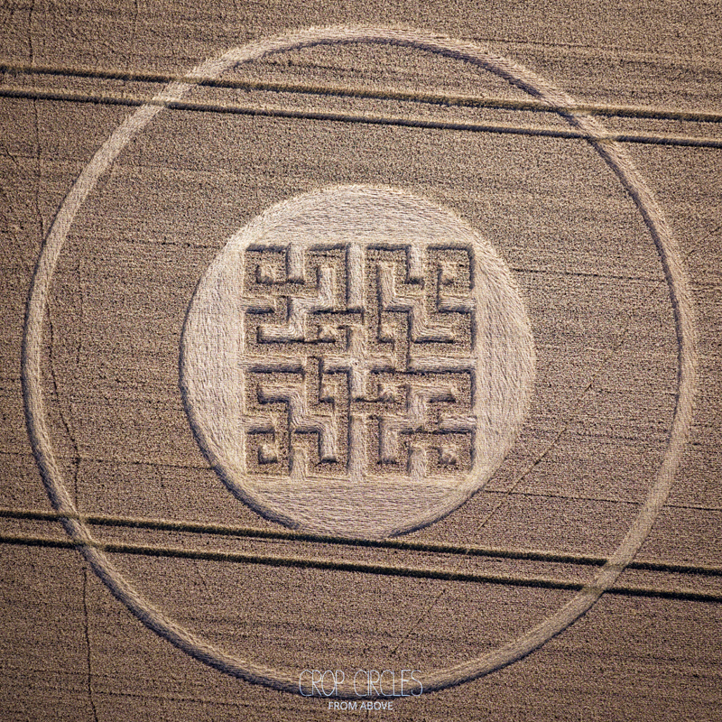
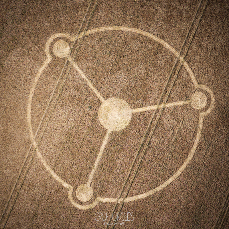
Hackpen Hill
26 August 2012, Wiltshire
2,982 crop formations from 1927 to this summer, every one traced back to the people who flew over, walked and photographed it.


Built from the archives
Records come from Crop Circle Connector, Crop Circle Archives (Crop Circle Connector), Temporary Temples, Lucy Pringle Crop Circle Photography, Crop Circle Research Archive (CCRA). When several archives cover the same formation, their photos and reports are gathered on one page, credited to the people who took them.