Photos load from the archives that published them and remain the copyright of their photographers. Crop circle images and reports courtesy The Crop Circle Connector (cropcircleconnector.com). All sources and credits.
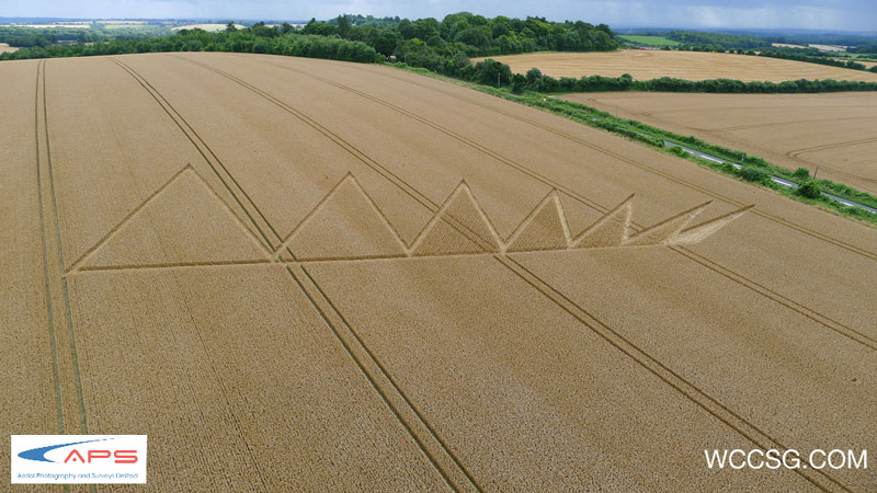
Crop Circle at Longwood Road, nr Owslebury, Hampshire. Reported 5th August 2012. Longwood Road, nr Owslebury, Hampshire. Reported 5th August. Map Ref: SU528241 This Page has been accessed Updated Friday 17th August 2012 AERIAL SHOTS GROUND SHOTS DIAGRAMS FIELD REPORTS COMMENTS ARTICLES 06/08/12 10/08/12 09/08/12…
Photos by Wccsg ', Lucy Pringle, Jason Patterson, Artworks JW, www.maya48.com, Nyako Nakar, Zugelder, Ian Hudson, Simon Davies. Read the full report at Crop Circle Archives (6 pages).