Skip to content
CROP DECODER
Pickford, Warwickshire crop circle from the air
Photo by Malcolm Green, Crop Circle Archives (Crop Circle Connector)

Pickford, Warwickshire

4 August 2012, wheat, 19 photos
See all 19 photos
Date
4 August 2012
Place
Pickford, near Coventry
County or region
Warwickshire
Country
England
Crop
Wheat
GPS
52.42852, -1.58890
OS grid reference
SP 280 812
Nearest ancient site
Rollright Stones, 50.4 km

Photos19

Photos load from the archives that published them and remain the copyright of their photographers. Crop circle images and reports courtesy The Crop Circle Connector (cropcircleconnector.com). All sources and credits.

Reports

Crop Circle Archives (Crop Circle Connector)

Crop Circle at Pickford, nr Coventry, Warwickshire. Reported 4th August 2012. Pickford, nr Coventry, Warwickshire. Reported 4th August. Map Ref: SP280812 This Page has been accessed Updated Wednesday 15th August 2012 AERIAL SHOTS GROUND SHOTS DIAGRAMS FIELD REPORTS COMMENTS ARTICLES 15/08/12 15/08/12 07/08/12…
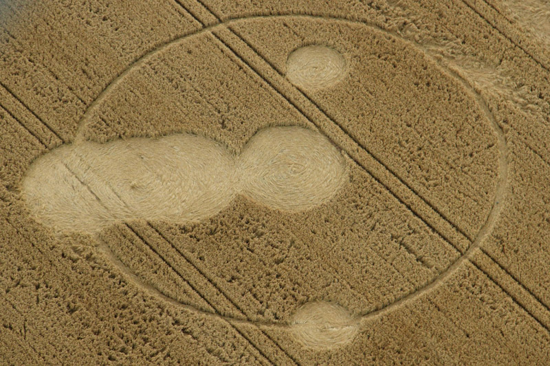
Photos by Malcolm Green, Art Work JW, Taron Dosanjh, Psi Rourke, by Psi Rourke, Howdle. Read the full report at Crop Circle Archives (6 pages).