Photos load from the archives that published them and remain the copyright of their photographers. Crop circle images and reports courtesy The Crop Circle Connector (cropcircleconnector.com). All sources and credits.
Crop Circle at Maccoombe Down, Tidcombe, Wiltshire. Reported 7th July 2026 Maccoombe Down, Tidcombe, Wiltshire. Reported 7th July Map Ref: SU2931057192 This Page has been accessed Updated Sunday 19th July 2026 AERIAL SHOTS Video GROUND SHOTS DIAGRAMS FIELD REPORTS COMMENTS ARTICLES 09/07/2026 09/07/2026 08/07/2026…
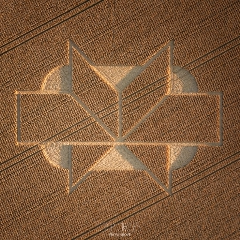
This crop circle was first reported on the 7th of July 2026. It is in a field of wheat and measures approximately 180-200ft in length. This is a very unusual pattern – 3D like in its rendering. A stylised six-armed-star is shown in orthogonal projection, on a rectangular background. It is a truly fascinating an…