Crop Circle Archives (Crop Circle Connector)
- Date
- 12 June 2005
- Place
- Stantonbury Hill, near Marksbury, North East
- County or region
- Somerset
- Country
- England
- Crop
- Wheat
Photos4
Photos load from the archives that published them and remain the copyright of their photographers. Crop circle images and reports courtesy The Crop Circle Connector (cropcircleconnector.com). All sources and credits.
Reports
Crop Circle Archives (Crop Circle Connector)
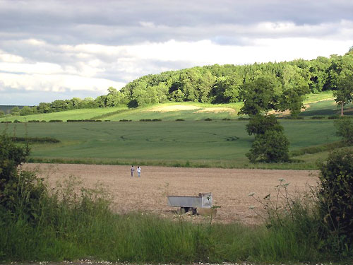
Crop Circle at Stantonbury Hill, Marksbury, North East Somerset. Reported 12th June 2005 Stantonbury Hill, Marksbury, North East Somerset. Reported 12th June. Map Ref: Updated Wednesday 15th June 2005 Image CCC Copyright 2005 Below the ancient settlement of Stantonbury Hill, just outside the village of Corston,…
Photos by Chris Watt, Rose, ACME Research inc. Read the full report at Crop Circle Archives.