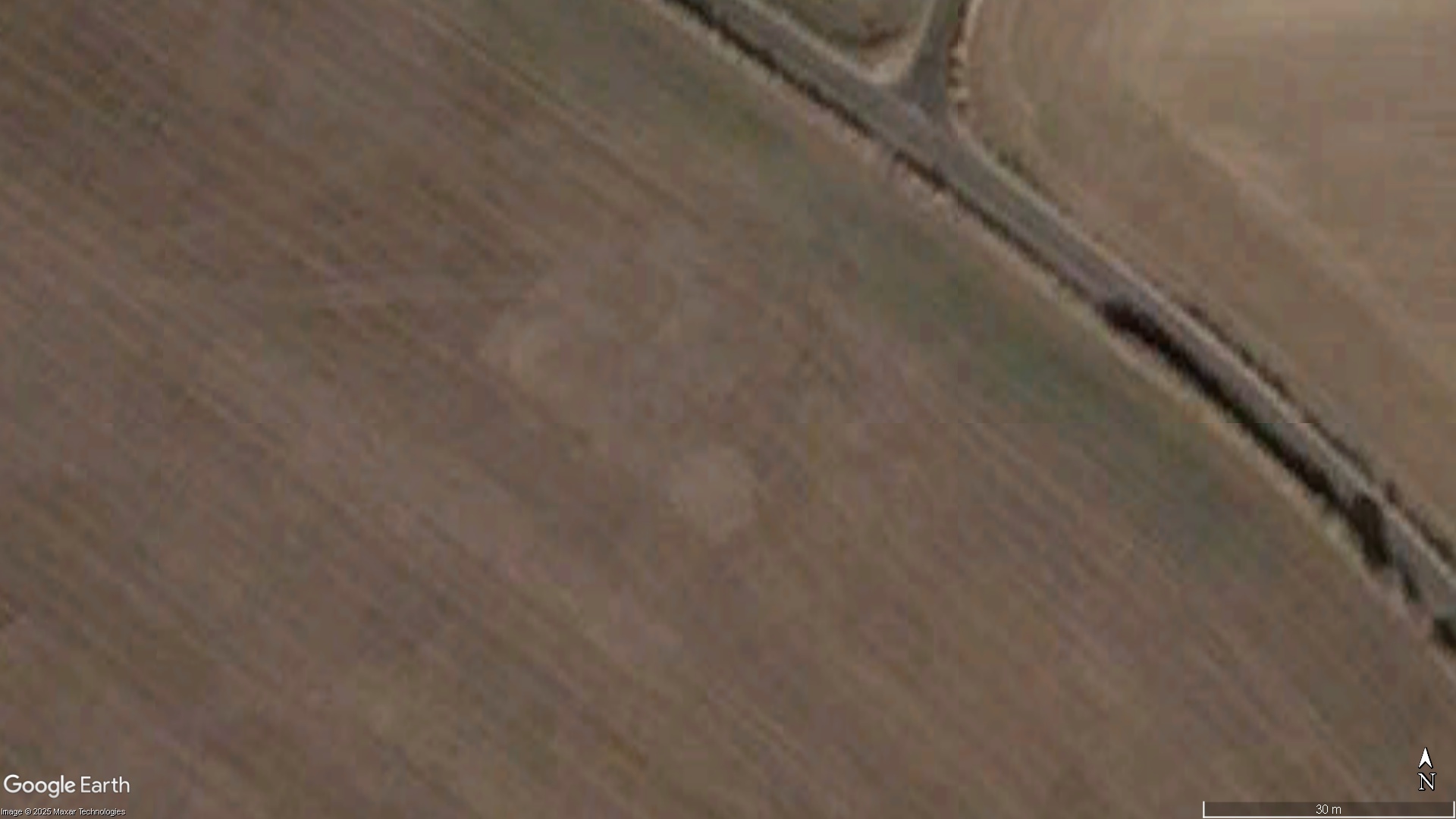
Photo by Google Earth (via CCRA), Crop Circle Research Archive (CCRA)
- Date
- 2003
- Place
- Lurkeley Hill East Kennett
- County or region
- Wiltshire
- Country
- England
- Reference codes
- CCRA ENWI200324
Photos1
Photos load from the archives that published them and remain the copyright of their photographers. All sources and credits.